AQL 24°
SPD 18.2 MPH
HDG 142° SE
LON 80.156842° W
ORTHOMOSAIC
PREVIEW
See the whole site.
Miss nothing.
Aerial mapping, thermal inspections and commercial photography across South Florida.
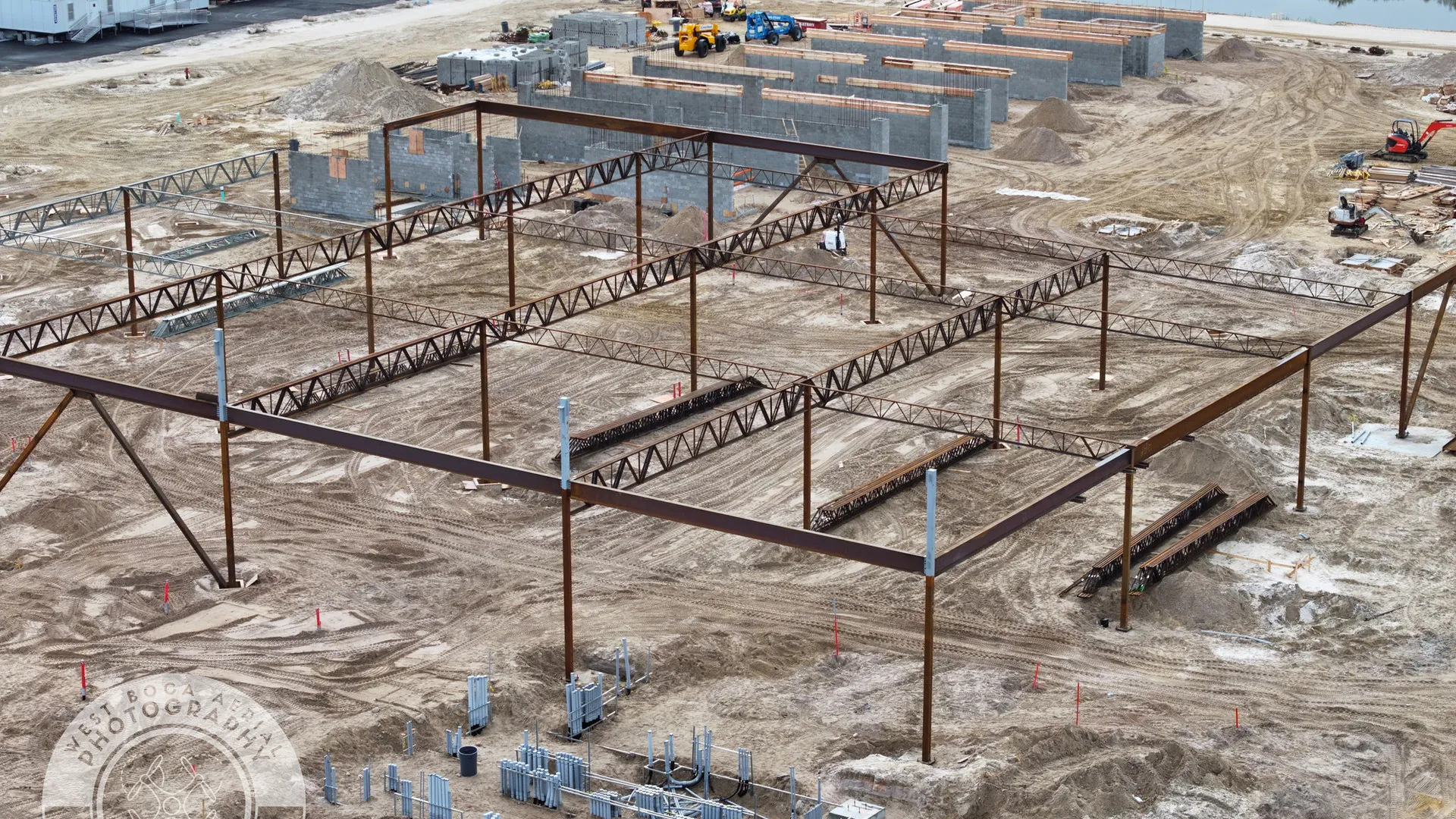
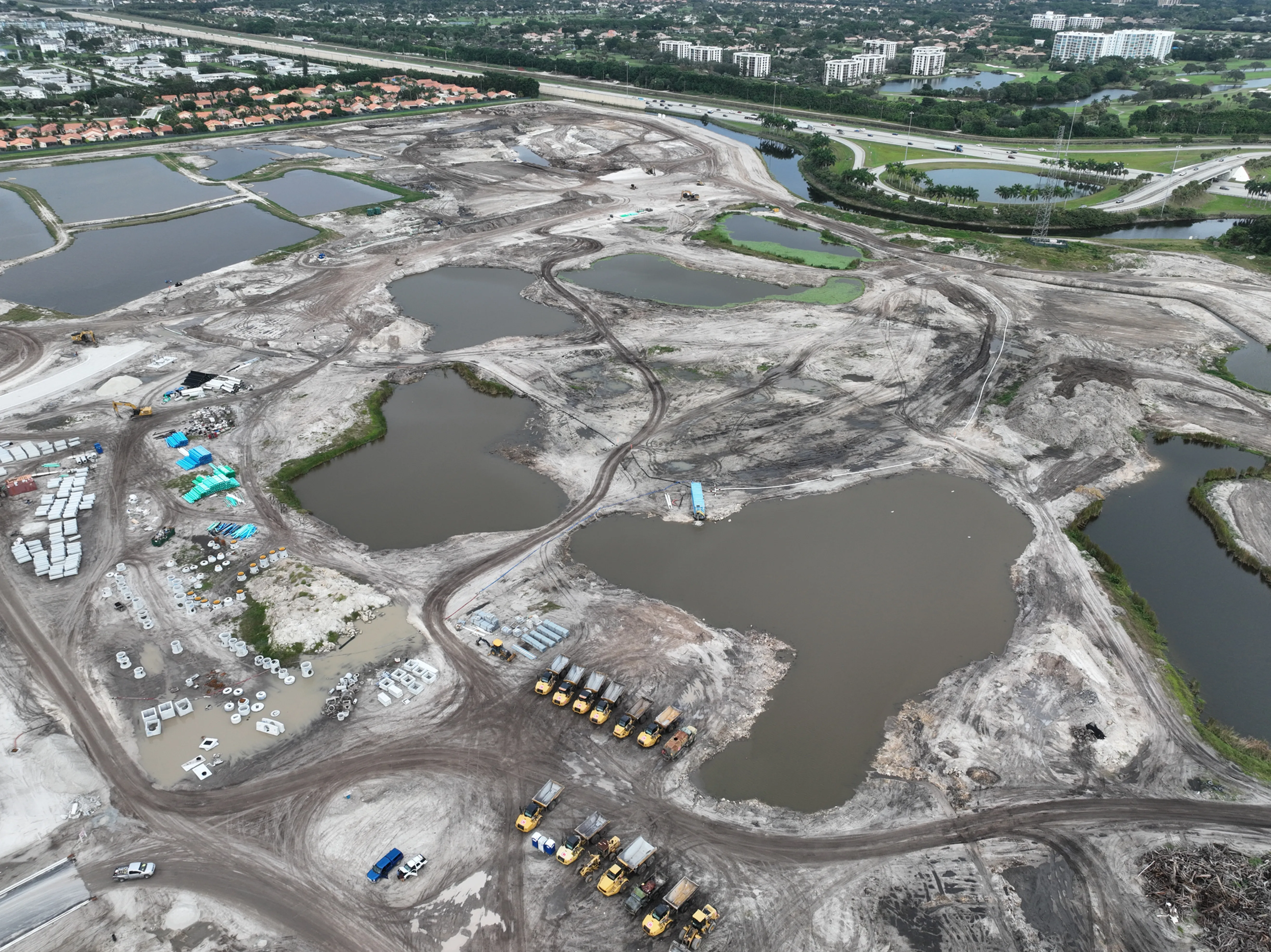
Built for decisions,
not just dramatic angles.
Data-first aerial services that give you clarity, drive accountability and reduce risk from preconstruction to closeout.
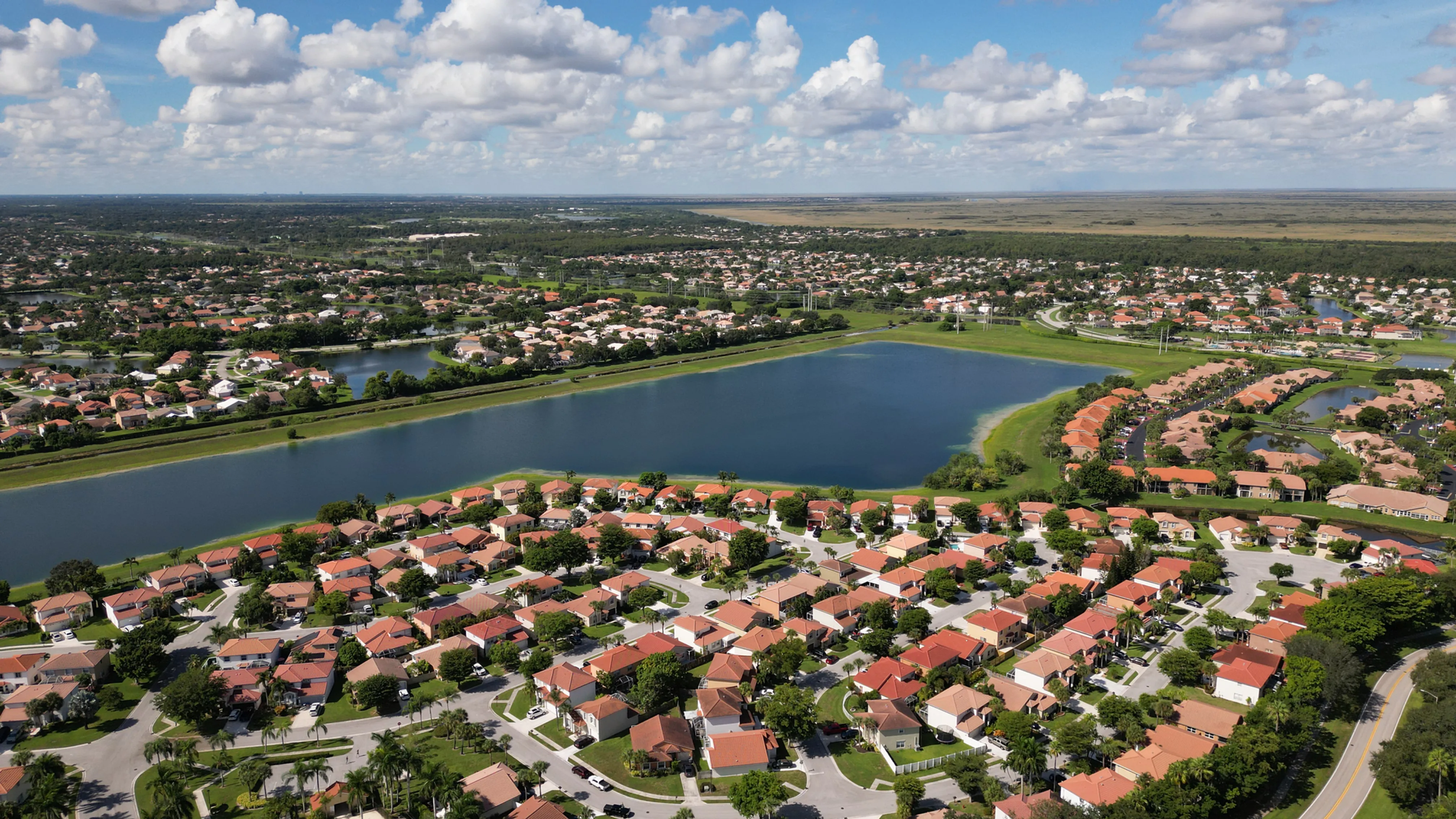
City of Boynton Beach
Municipal aerial coverage for parks, public infrastructure and city marketing imagery.
Explore Boynton Beach aerial photography →View field work →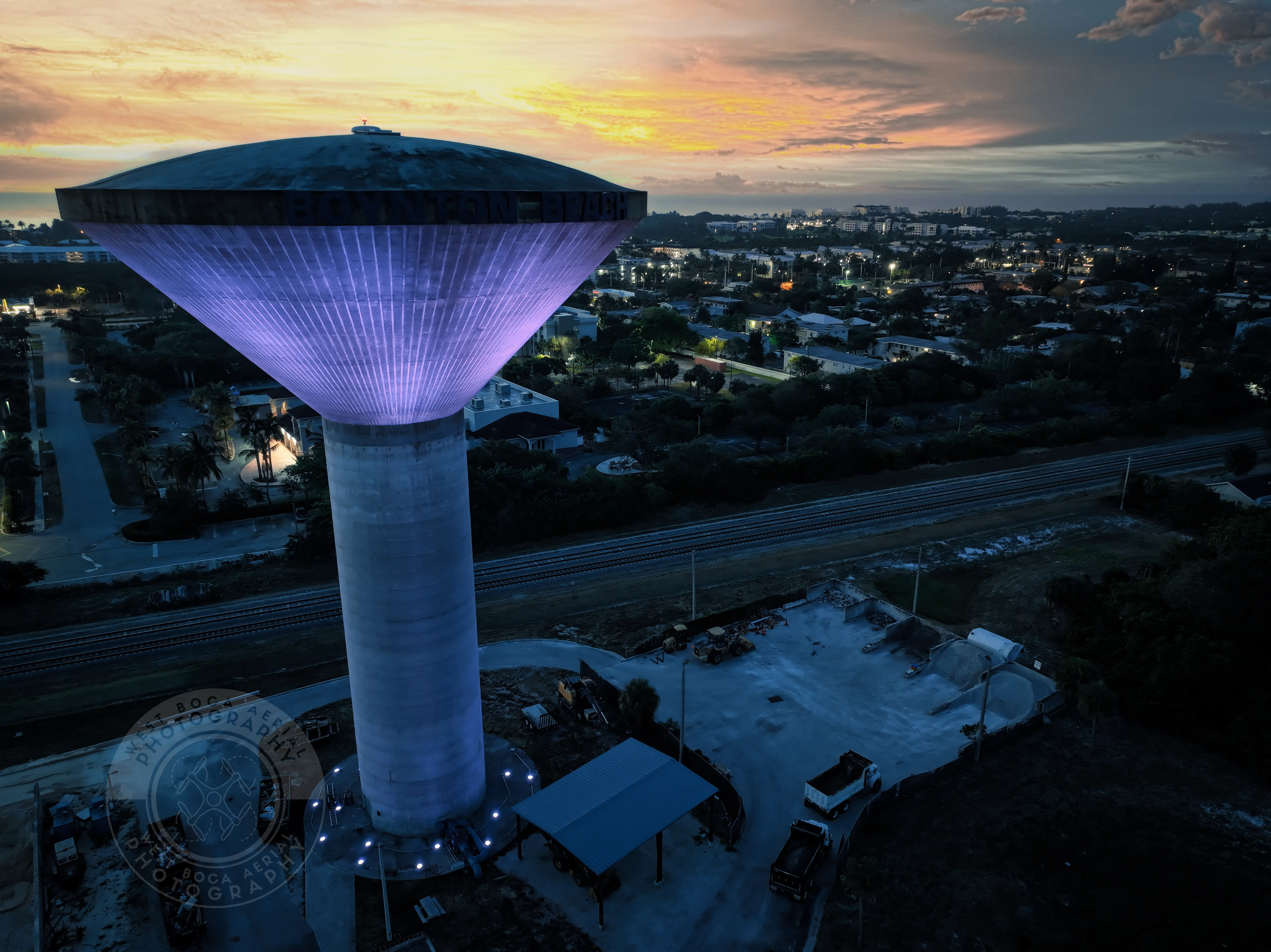
Always professional and went above and beyond on all shoots. He has the capability to do multiple deliverables from photos to orthomosaics and more.
Tim S. · Droners client
Frequently asked questions
West Boca Aerial Photography supports commercial property, construction, mapping, thermal inspection, events and special aerial assignments.
Yes. Orthomosaic and photogrammetry capture can support construction progress, land management, planning and documentation needs.
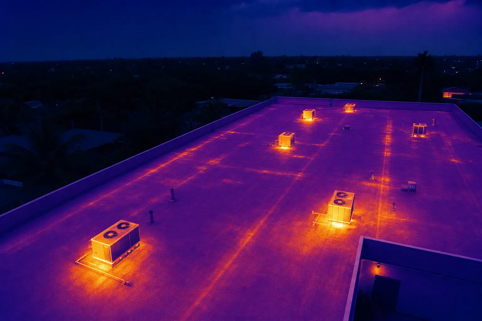
Yes. Thermal aerial capture is available for roofs, equipment, solar, electrical and recovery-related assignments.
Send the site, goal and any required deliverables. A capture plan can then be tailored to the assignment.
Ready when the site needs a clearer view.
Request a flight plan →