
How Aerial Photography Can Transform Your Projects
- Guy Nehrenz
- May 5
- 3 min read
Aerial photography has become a powerful tool for many industries, offering unique perspectives that ground-level photography simply cannot match. Whether you are involved in real estate, construction, agriculture, or event planning, aerial images can provide valuable insights and enhance the overall quality of your projects. This post explores how aerial photography can transform your work, offering practical examples and actionable tips to help you leverage this technology effectively.
The Power of Aerial Photography in Project Visualization
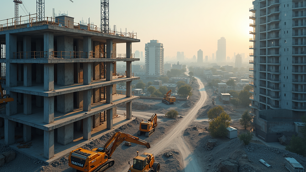
Aerial photography allows you to capture expansive views from above, giving a comprehensive overview of your project site. This bird’s-eye perspective is invaluable for planning and monitoring progress. For example, in construction, aerial images can reveal the layout of a site, track the development stages, and identify potential issues before they become costly problems.
Using drones equipped with high-resolution cameras, you can obtain detailed images that highlight terrain features, infrastructure, and environmental conditions. This information helps project managers make informed decisions and communicate progress clearly to stakeholders.
Practical tip: Schedule regular aerial photography sessions throughout your project timeline to document changes and maintain an accurate visual record.
Enhancing Marketing and Presentation with Aerial Photography
Aerial photography is a game-changer for marketing and presentations. Real estate agents, for instance, use aerial shots to showcase properties and their surroundings, making listings more attractive to potential buyers. The unique vantage point highlights features like landscaping, proximity to amenities, and neighborhood layout.
Similarly, event planners can use aerial images to demonstrate venue size and setup, helping clients visualize the event space. These images add a professional touch to brochures, websites, and social media campaigns, increasing engagement and interest.
If you are searching for aerial photography near me, consider providers who specialize in your industry to ensure the best results tailored to your needs.
Actionable advice: Incorporate aerial photos into your digital marketing materials to stand out from competitors and provide a fresh perspective.
Improving Surveying and Mapping Accuracy
Aerial photography plays a crucial role in surveying and mapping projects. Traditional ground surveys can be time-consuming and limited in scope, but aerial images cover large areas quickly and with high precision. This is especially useful in agriculture, where farmers can monitor crop health, irrigation patterns, and soil conditions from above.
Using aerial data, surveyors can create detailed maps and 3D models that improve accuracy and reduce errors. This technology also supports environmental monitoring, helping identify changes in land use, vegetation, and water bodies.
Recommendation: Combine aerial photography with Geographic Information Systems (GIS) to analyze spatial data effectively and enhance project outcomes.

Streamlining Inspections and Maintenance
Aerial photography simplifies inspections of hard-to-reach areas such as rooftops, bridges, and power lines. Instead of relying on scaffolding or cranes, drones can quickly capture high-quality images, reducing risk and saving time.
For infrastructure maintenance, aerial images help identify damage, wear, or potential hazards early. This proactive approach minimizes downtime and repair costs, ensuring safety and efficiency.
Tip: Use drones equipped with thermal or infrared cameras for detailed inspections that reveal hidden issues like heat loss or electrical faults.
Unlocking Creative Possibilities in Storytelling and Documentation
Beyond practical applications, aerial photography opens new creative avenues for storytelling and documentation. Filmmakers, journalists, and artists use aerial shots to add drama and context to their work. The sweeping views can evoke emotions and provide a sense of scale that ground-level shots cannot achieve.
Documenting events, natural disasters, or historical sites from the air creates compelling visual narratives that engage audiences and preserve important moments.
Suggestion: Experiment with different altitudes and angles to capture unique compositions that enhance your storytelling.
Aerial photography is more than just a visual tool - it is a transformative technology that can elevate your projects in multiple ways. From improving planning and marketing to enhancing inspections and creative storytelling, the benefits are clear. By integrating aerial photography into your workflow, you gain a competitive edge and unlock new opportunities for success. Whether you are looking for aerial photography near me or exploring how to use drones effectively, the potential to transform your projects is immense.


Comments