
The Advantages of Drone Monitoring for Construction Projects
- Guy Nehrenz
- May 5
- 3 min read
In recent years, drone technology has revolutionized many industries, and construction is no exception. The use of drones for construction monitoring has become increasingly popular due to its ability to provide real-time data, improve safety, and enhance project management. This article explores the numerous advantages of drone monitoring for construction projects and how it can transform the way construction sites are managed.
How Drone Construction Monitoring Enhances Project Efficiency
Drones equipped with high-resolution cameras and sensors can capture detailed aerial images and videos of construction sites quickly and accurately. This capability allows project managers to monitor progress without the need for physical site visits, saving time and resources.
Faster Data Collection: Drones can cover large areas in a fraction of the time it takes for manual inspections.
Accurate Progress Tracking: High-quality images help compare the current state of the project with planned milestones.
Improved Communication: Visual data can be shared instantly with stakeholders, ensuring everyone is on the same page.
For example, a construction manager overseeing a large commercial building can use drone footage to verify that the foundation work is proceeding as scheduled. This immediate feedback helps identify delays early and adjust plans accordingly.

The Role of Drone Technology in Construction Monitoring
Construction monitoring involves regularly checking the status and safety of a construction site to ensure the project stays on track. Drones bring a new level of precision and convenience to this process.
Safety Inspections: Drones can access hard-to-reach or hazardous areas, reducing the risk to human inspectors.
Quality Control: Detailed aerial images help detect defects or deviations from design specifications.
Resource Management: Monitoring equipment and material usage helps prevent theft and waste.
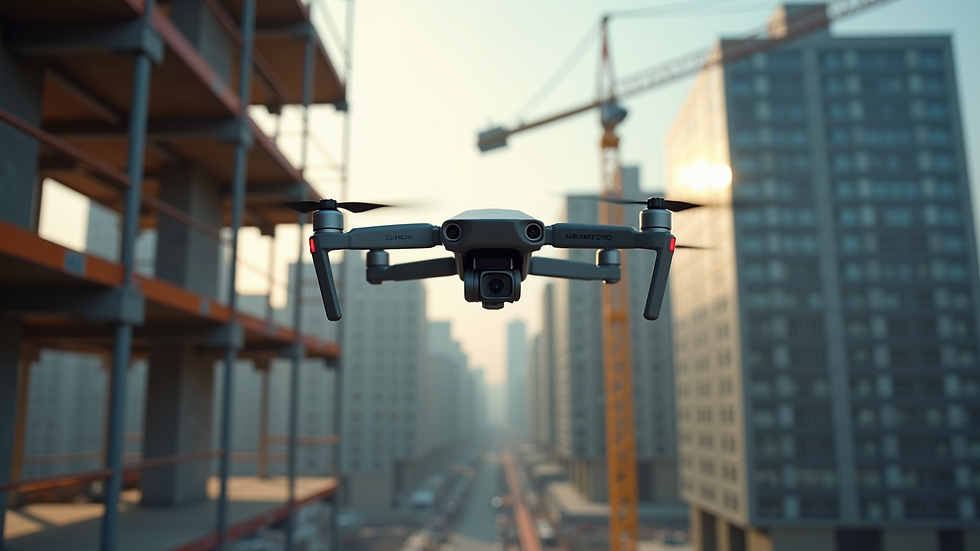
By integrating drones into construction monitoring, companies can reduce costs associated with accidents and rework. For instance, a drone can inspect scaffolding or tall structures without the need for scaffolding or cranes, minimizing downtime and enhancing worker safety.
What is Site Monitoring in Construction?
Site monitoring in construction refers to the continuous observation and documentation of activities on a construction site. It ensures that the project complies with safety regulations, design plans, and timelines.
Traditionally, site monitoring involved manual inspections and static cameras. However, drones have introduced a dynamic and flexible approach. They provide:
Real-Time Updates: Live video feeds allow immediate response to issues.
Comprehensive Coverage: Drones can survey the entire site, including areas that are difficult to access.
Data Integration: Collected data can be integrated with project management software for better analysis.
For example, during the construction of a highway, drones can monitor earthworks, track machinery movement, and verify that environmental protections are in place. This comprehensive monitoring helps maintain compliance and avoid costly penalties.

Practical Benefits of Using Drones for Construction Site Monitoring
Using drones for construction site monitoring offers several practical benefits that improve overall project outcomes:
Cost Savings
Reduces the need for manual labor in inspections
Minimizes delays by identifying issues early
Lowers insurance premiums through enhanced safety monitoring
Improved Accuracy
Provides precise measurements and 3D mapping
Enhances documentation for legal and regulatory purposes
Enhanced Safety
Limits human exposure to dangerous environments
Enables quick emergency response with real-time visuals
Better Stakeholder Engagement
Visual reports help communicate progress to clients and investors
Facilitates remote collaboration among teams
For instance, a construction company can use drone data to create 3D models of the site, which helps architects and engineers make informed decisions without visiting the site physically.
Future Trends in Drone Construction Monitoring
The future of drone construction monitoring looks promising with advancements in technology and integration with other digital tools.
Artificial Intelligence (AI): AI-powered drones can analyze data on the fly, detecting anomalies and predicting potential issues.
Automation: Fully autonomous drones will perform routine inspections without human intervention.
Integration with BIM: Combining drone data with Building Information Modeling (BIM) will enhance project visualization and planning.
Environmental Monitoring: Drones will increasingly be used to monitor environmental impact and ensure sustainable construction practices.
As these trends develop, construction companies that adopt drone monitoring early will gain a competitive edge by improving efficiency, safety, and project quality.
Embracing drone technology for construction site monitoring is no longer a luxury but a necessity for modern construction projects. It offers a powerful toolset to manage complex sites, reduce risks, and deliver projects on time and within budget. As the technology continues to evolve, its role in construction will only become more integral and transformative.


Comments